
Flat-Earth-distance (Плоскозёмное расстояние)
by Michael Osincev31
users
Published
October 7, 2022
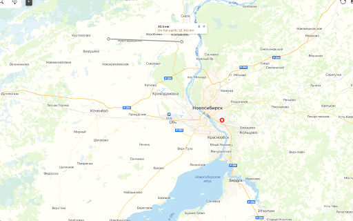
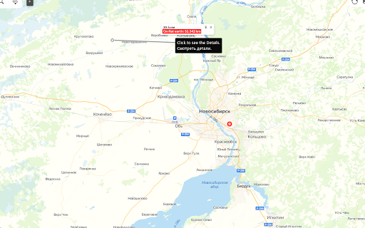
Screenshots
Description
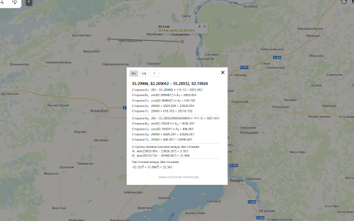
Объяснение расчётов (Используйте "линейку".)
A,B,C - стороны прямоугольного треугольника.
A - от Северного полюса до Точки.
B - от Точки до Нулевого меридиана (под углом 90°).
C - от пересечения B и Нулевого меридиана до Северного полюса.
X и Y - координаты на виртуальной "карте Мира" (азимутальная проекция) размером 40000 км, нулевая отметка в верхнем левом углу.
Если "x,y" координаты Северного полюса "20000,20000", X и Y Точки расчитываются исходя из их положения относительно Северного полюса.
Вычитая X и Y двух Точек, получаем треугольник, гипотенуза которого является расстоянием между Точками.
Explanation of the calculations (Use the "ruler" tool.)
A,B,C are the sides of a right triangle.
A - from the North Pole to the Point.
B - from the Point to the Prime Meridian (at an 90° angle).
C - from the intersection of B and the Prime Meridian to the North Pole.
X and Y - coordinates on the virtual "world map" (azimuthal projection) with the size of 40,000 km, the zero mark in the upper-left corner.
If the "x,y" coordinates of the North Pole are "20000,20000", the X and Y of the Points are calculated based on their position relative to the North Pole.
Subtracting the X and Y of the two points, we get a triangle whose hypotenuse is the distance between the points.